
17
JUL - '14
Draw On GPS Map, Share, Navigate
Have you experienced sometime in the past, gps device lead you astray or it takes you to narrow road leads to nowhere?. Well because it's impossible for gps device to be 100% accurate on every routing options. Don't want something like this happen on your trip do you? Why not let someone know the route/road well draws on map on your gps device to provide routing option.Here's how. We can utilize some cool website called as gpsvisualizer.com to let us draw on map, save it on a file and then send it to gps devices.
Basically all gps device can record a track log line of your certain trip from point a to b. They usually writes on .gpx file, and this files is the area we'll goof around to. This gpsvisualizer.com site helps you to create a track log for gps devices.
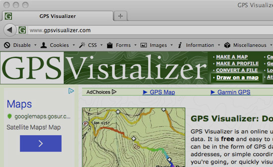
GPS Visualizer can read GPS data files (tracklogs & waypoints), street addresses, or simple coordinates, and plot them on Google Maps. GPS Visualizer is an online utility that creates maps and profiles from geographic data. It is free and easy to use, yet powerful and extremely customizable. Input can be in the form of GPS data (tracks and waypoints), driving routes, street addresses, or simple coordinates. Use it to see where you've been, plan where you're going, or quickly visualize geographic data (scientific observations, events, business locations, customers, real estate, geotagged photos, etc.).
Let's try create one.
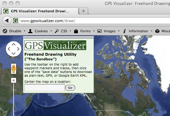
Go to www.gpsvisualizer.com/draw
On "center the map on a location" field, type in the city of your target location then click go.
On the top right of the site, you might pick "google map" instead of "google hybrid" to get better visualization of the streets. Pan around to find the starting/finish point, use the "trk" button on the upper right side to start drawing the track over the streets.
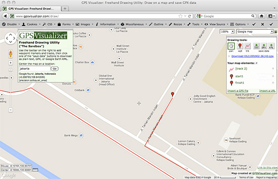
Save the track log by clicking the .GPX button, then some link to your file will show.
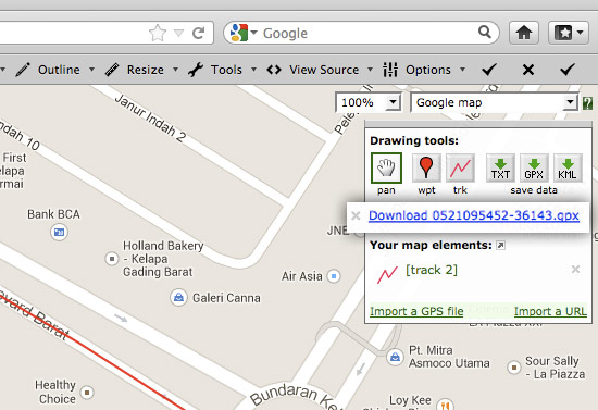
Rename the filename if you will and import to your gps device.
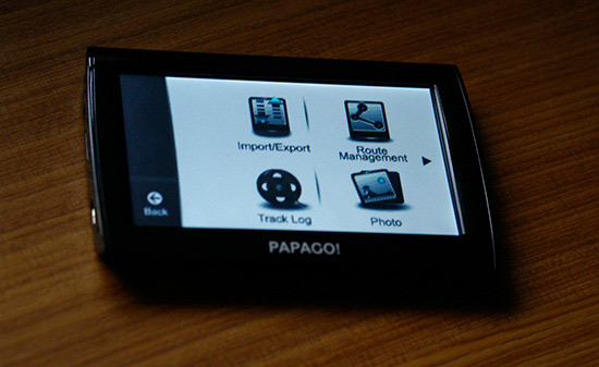
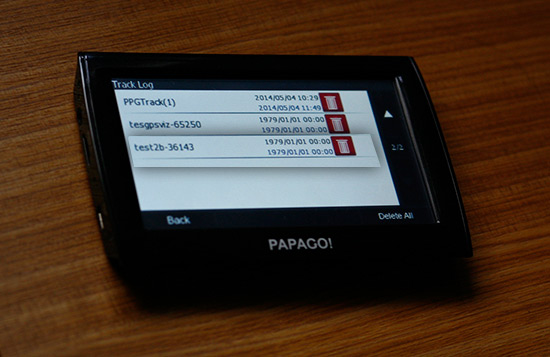
Go to tools > track log and select the file.
Can't help but noticing all the gpsvisualizer files dated on January 1st 1979.
Done. Your track will show on your gps device. On device I had with me shows thick line while some other brands uses thin lines for track log, doesn't really matter.
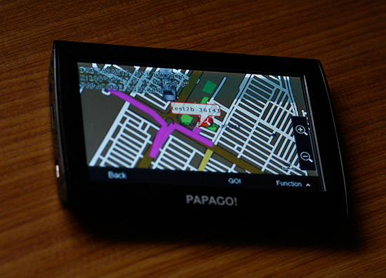
Now we got ourselves some option. However, sometime an anomaly occures. The path we drew on map a little inaccurate when shown in device (ex. the path deviates a little bit in U-turn or something like that). You'll be able to handle something like this easily.
Ok. Drive safely.
Tagged as: Around the www
Tweet


